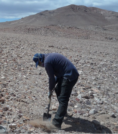
Drainage Program
Sampling of Quaternary sediments from the streams, which are then sent to a laboratory to measure concentrations in different metals, in order to find anomalous concentrations in some basins and define areas of economic interest to explore.
Mapping altered and mineralized rocks "The Anaconda Method"
Color-coded mapping of alteration/mineralization, estimates of mineral/vein abundance, measurement of attitudes (strike and dip and core-axis angle), and relative age between features (different vein-types, or veins/intrusive contacts)
Mapping scale 1:2000 in the Atacama Desert. The aim is to practice the Anaconda mapping method, and to become familiar with the lithologies of the area.

Atacama Desert
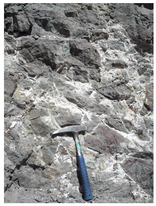
Breachization of the host rock, with silica matrix
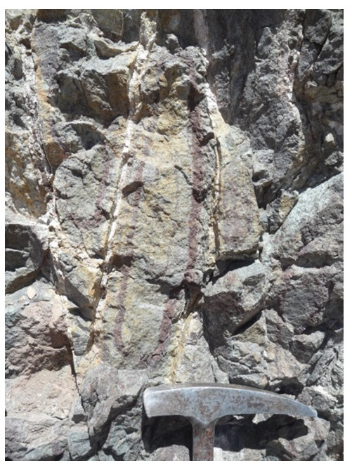
Quartz whistle with halos alteration
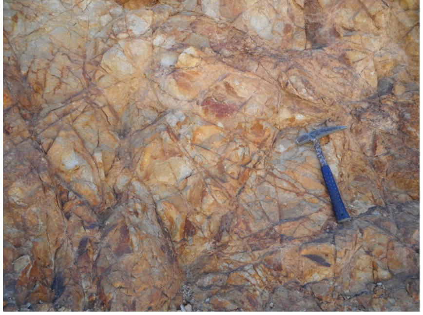
Intense veinlets of jarosite
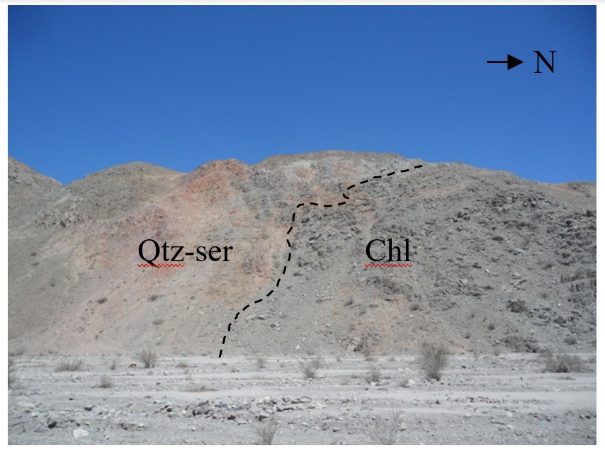
Contact of chloritized rocks and rocks altered to qtz-ser.
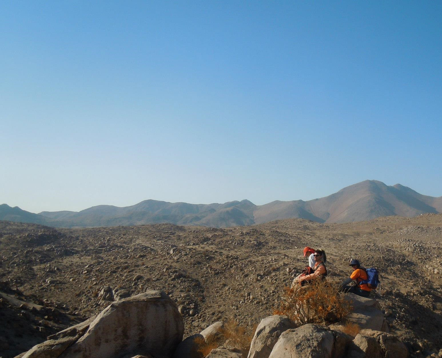
Anaconda type mapping
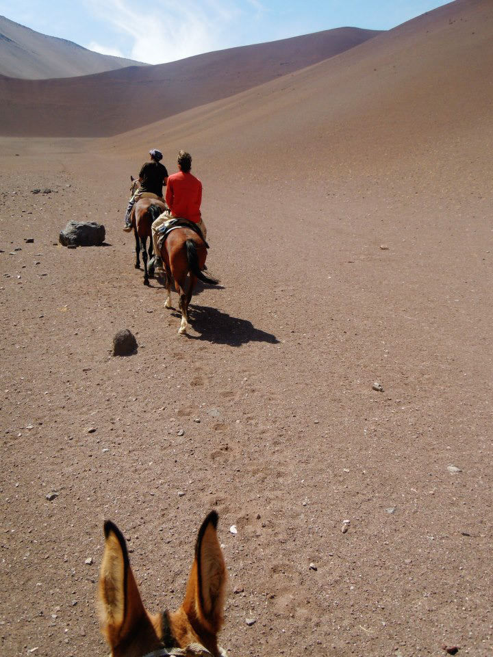
Exploration Campaign
